How to use Google Earth?
Posted by Network Support · Leave a Comment

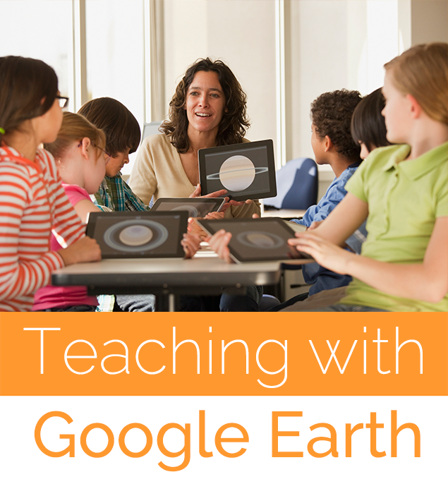
Grab your students’ attention and bring information to life with Google Earth. Use this interactive learning tool to promote student engagement in the classroom.
What is Google Earth?
The app Google Earth is used by teachers across the world to implement in classrooms and give students an interactive, hands-on experience. Google Earth was released in 2005 and provides a simple means of combining satellite imagery and visualization with geographic and geological information. For example, looking at images of Japan in books is great, but it does not offer the same attention grabbing experience as virtually walking down the streets of Japan.
Why Use Google Earth to Teach?
The Google Earth app enables teachers to “fly” anywhere in the world viewing streets, maps, terrain, buildings and monuments up close and in 3D. It provides the ability to track river flow, explore oceans and view planet changes. For modern classrooms, Google Earth presents an opportunity to turn traditionally abstract lessons into real and exciting experiences. Its flexibility sets the scene for lessons, not just in geography, but anything from history and astronomy to literature, science and even math! Google Earth is one of the few tools that is adaptable enough to be used for all grade levels.
In the Classroom
Google Earth integrates into inquiry-based learning activities seamlessly across any subject area and grade level. The virtual tour capability enables students in the classroom to question and explore new places from oceans and forests to museums and monuments.
Following are just a few ideas of ways to customize using Google Earth in the classroom for a variety of school subjects:
Biology and Ecology:
- Send groups of students on a scavenger hunt through the tulip fields of Amsterdam.
- Use resources from the Jane Goodall Institute to track the routes of chimpanzees.
Earth Science and Family and Consumer Sciences:
- Use Google Earth layers to study tectonics and earth movements watching earthquakes in real time.
- Explore dining customs of countries and build an international cookbook.
Art History and Architecture:
- Tour famous museums.
- Examine historical and modern architectural works such as the Duomo in Florence, Italy or the Washington Monument, in Washington DC.
English and Literature:
- Build context around a novel by creating a tour of places mentioned in a book.
- Create ‘postcards’ using pictures of real places.
Math and Science:
- Calculate volume of famous geometrical shapes such as the Egyptian pyramids.
- Estimate land areas and use real-time coordinates to make recommendations for redeveloping a small town.
Google Earth is a classroom tool that can help students love learning and become curious life-long learners.
Like this article for teachers?
Browse the Professional Learning Board COURSE CATALOG to find related online courses for teachers in your state. Professional Learning Board is a leading provider of online professional development classes that teachers use to renew a teaching license or renew a teaching certificate.